
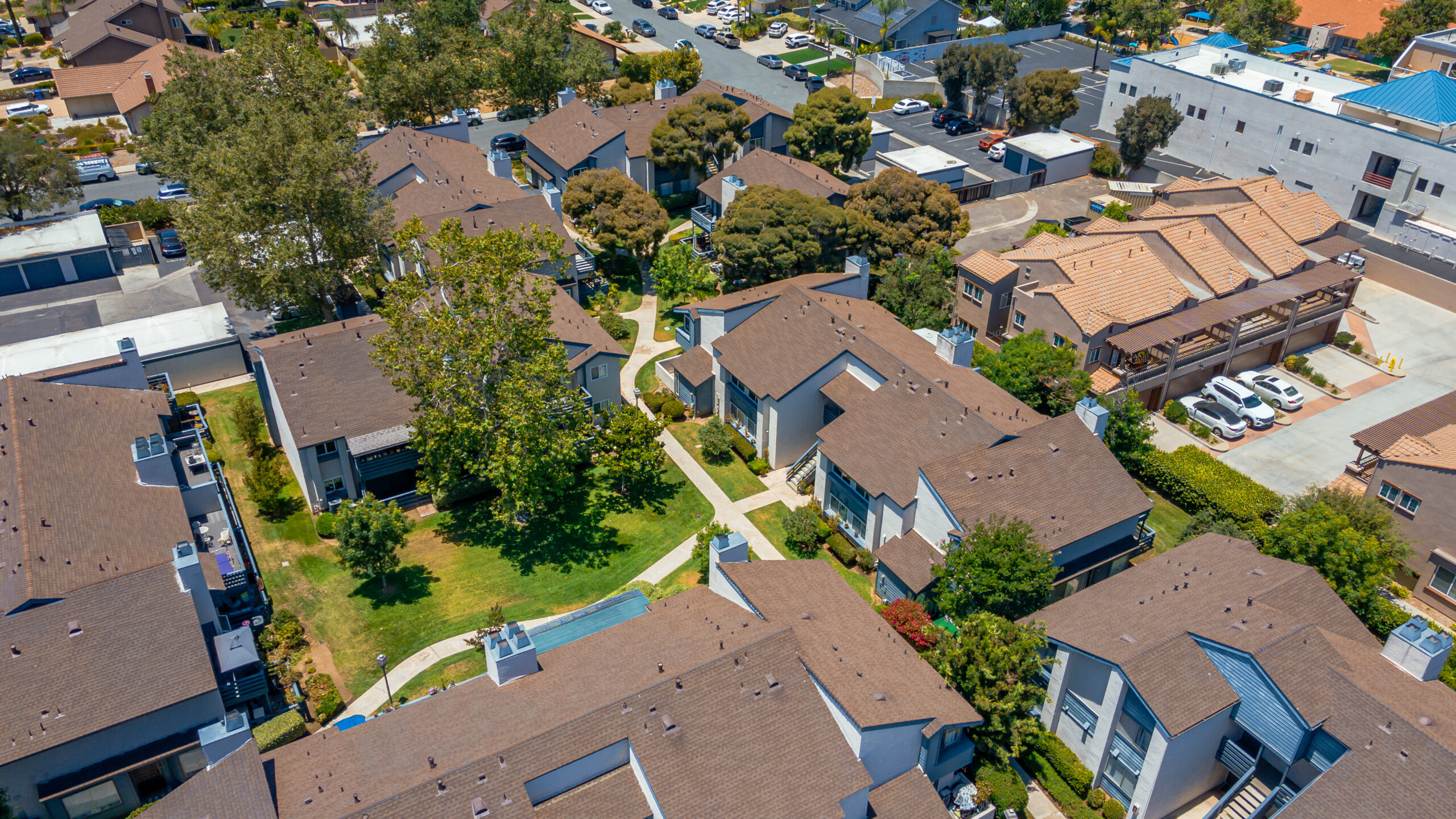
Aerial photography for San Diego real estate has moved from a luxury add-on to a baseline expectation among serious buyers. When a buyer browsing Zillow sees a listing with only ground-level shots alongside one with stunning 4K drone footage — the aerial listing wins the click, the save, and the showing request. In 2026, every San Diego listing that sits on a lot with any outdoor space, view, or neighborhood context needs aerial photography to compete.
Aerial Drone Photography for San Diego Real Estate: The Complete 2026 Guide
In 2026, aerial drone photography has shifted from a premium add-on to a baseline expectation in San Diego’s competitive real estate market. With median home prices holding strong above $950,000 across most coastal zip codes, buyers shopping online expect to see every property from above before scheduling a showing. Listings without aerial images are increasingly filtered out — agents who skip drone photography are leaving money on the table.
R360° provides FAA Part 107 certified drone photography and videography across all of San Diego County, from Oceanside to Chula Vista, and from Coronado to East County. Our aerial work captures what no ground-level camera can: the full scope of a property, its relationship to the coastline, canyons, parks, and surrounding neighborhood fabric.

Why San Diego Properties Demand Aerial Photography
San Diego is a geography-driven market. Buyers aren’t just purchasing square footage — they’re buying a view, a location, a lifestyle. An aerial photograph communicates all three in a single frame. A home perched above a canyon in Scripps Ranch looks completely different from the air than it does from the curb. A condo in Pacific Beach gains an entirely new dimension when a drone reveals the ocean just two blocks away. Aerial photography sells the neighborhood, not just the home — buyers can see the beach, parks, schools, and freeway access in context before ever scheduling a showing.
In 2026, the San Diego MLS has seen a measurable correlation between listings with professional aerial photography and days-on-market metrics. Homes with aerial images consistently receive more online views compared to those with only ground-level photography. More views mean more showings, and more showings mean faster sales and stronger offers in a market that continues to reward well-presented listings.
Beyond raw statistics, aerial photography builds buyer confidence. When a remote buyer in Seattle or New York is considering a $1.3 million property in Solana Beach, a set of sweeping drone images communicates neighborhood context, walkability to the beach, nearby amenities, and the overall character of the block — information that would otherwise require an in-person visit to gather.
What R360° Aerial Photography Includes
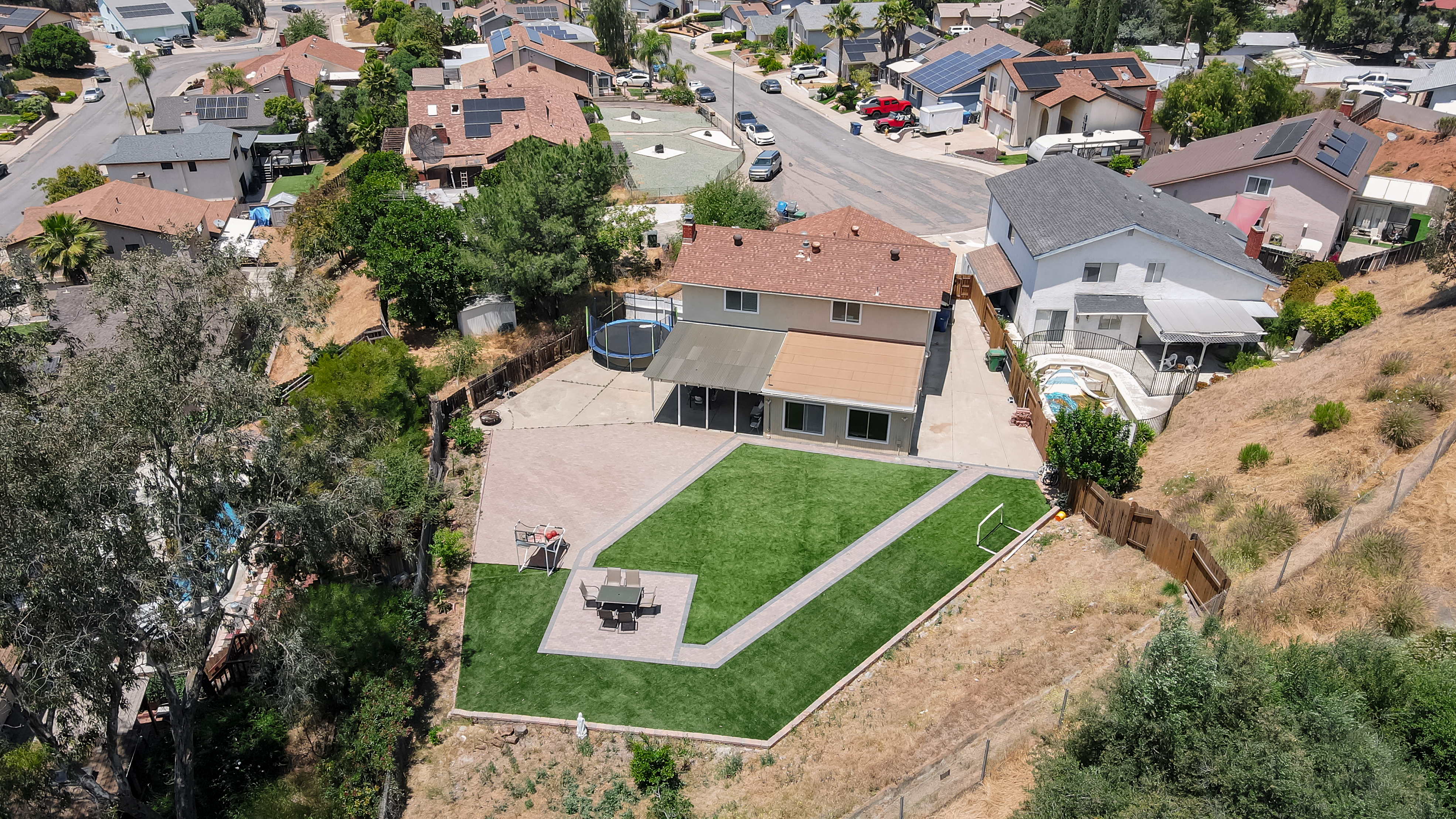
Every R360° aerial shoot is executed by a certified Part 107 drone pilot using professional-grade DJI equipment. We don’t use consumer-grade drones — our fleet delivers the image resolution and color depth that prints cleanly at large format and renders crisply in 4K video.
A standard aerial package includes:
- 8–12 high-resolution aerial stills — captured from multiple altitudes and angles to tell the full story of the property and its surroundings
- Compass-point coverage — north, south, east, and west facings so buyers get a complete picture of the lot and landscape
- Neighborhood context shots — zoomed-out views showing proximity to beaches, freeways, commercial corridors, parks, and school districts
- Custom flight paths — for estates and larger lots, we plan bespoke routes that highlight pools, detached structures, guest houses, and acreage
All aerial images are professionally edited with our signature HDR-balanced post-processing — the same color science applied to our ground-level photography, ensuring a cohesive look across your entire listing media package.
FAA Compliance in the San Diego Airspace
San Diego presents unique airspace challenges. With three major airports — San Diego International (SAN), Marine Corps Air Station Miramar, and Naval Air Station North Island — plus dozens of smaller fields and restricted military zones, drone operations in San Diego County require meticulous flight planning and airspace authorization.
R360° pilots hold active FAA Part 107 remote pilot certificates and maintain current LAANC (Low Altitude Authorization and Notification Capability) authorizations. Before every shoot, we file the appropriate airspace authorizations, verify temporary flight restrictions (TFRs), and check current NOTAMs. Your listing timeline never gets derailed by a last-minute compliance issue on our end. Non-compliant drone operation can expose agents and sellers to significant FAA civil penalties — another reason every R360° flight is planned, authorized, and flown by a certified Part 107 pilot.
Aerial Add-Ons That Close Deals
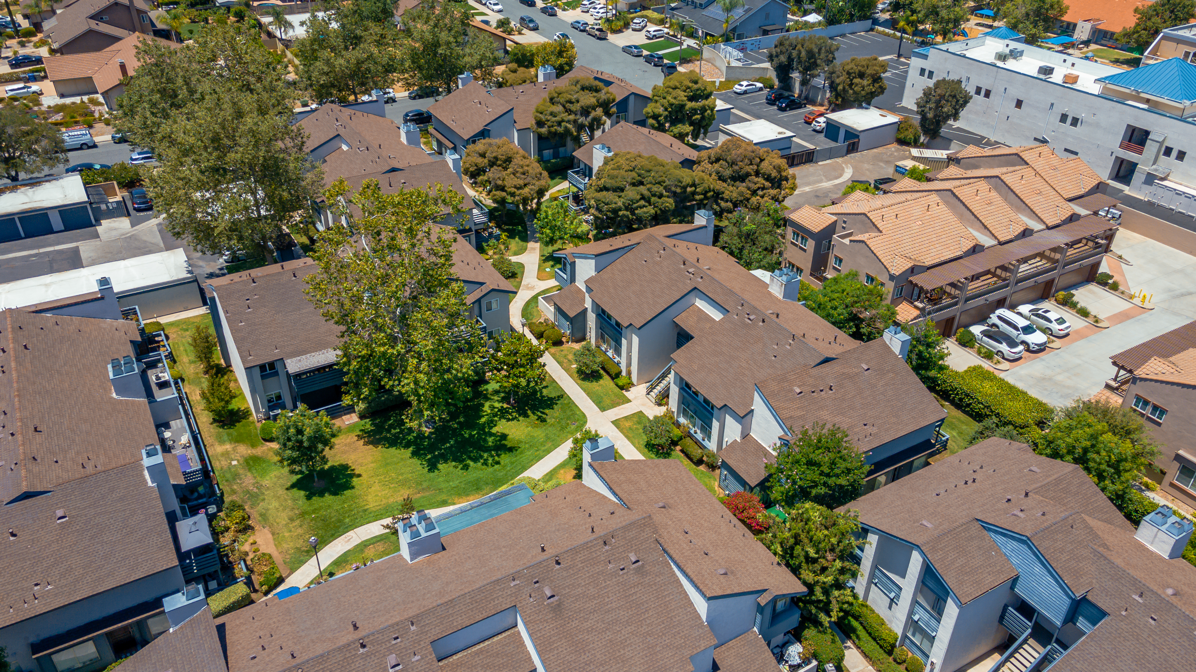
Beyond standard aerial stills, R360° offers several aerial add-ons that consistently push listings to the next level in the 2026 market:
Aerial video flyover: A 60–90 second aerial video sequence that takes viewers on a cinematic journey around the property. Paired with ground-level walkthrough video, this creates a complete digital property tour that can be syndicated to YouTube, Instagram Reels, and MLS-embedded video players.
Twilight aerial photography: One of our most requested add-ons this year. Shooting aerial photography during the golden hour window just after sunset produces images with warm ambient light, glowing windows, and a richly saturated sky — a combination that consistently outperforms daylight aerials in click-through rates on listing portals.
Aerial + virtual tour combo: Pair aerial photography with our Matterport 3D virtual tour to give out-of-area buyers a complete digital experience of the property from the outside in. This combination is especially effective for luxury listings in La Jolla, Rancho Santa Fe, and Del Mar where buyer pools skew heavily toward relocation clients.
Pricing and Turnaround
R360° aerial photography is available as a standalone service or bundled with interior photography, twilight photography, floor plans, and virtual staging. Bundle pricing delivers significant savings compared to booking services individually. Photos are delivered within 24 hours and video within 48 hours of shoot completion; full packages arrive in 1–4 days.
We serve all of San Diego County with no travel surcharge within a 35-mile radius of downtown San Diego. Extended coverage is available for properties in Temecula and surrounding areas with advance scheduling.
The San Diego real estate market in 2026 moves fast. Listings go live on Friday and see peak traffic in the first 72 hours. Don’t let missing aerial photography be the reason your listing underperforms during that critical launch window.
Ready to Book Your San Diego aerial Shoot?
R360 is a San Diego real estate media company, rated 4.8 stars on Google. Aerial Photography San Diego Real Estate is what we do best — and every shoot includes one free revision round and a free re-shoot if we miss an agreed room. Four of the seven agents we’ve shot for have booked three or more times.
Book your shoot online → | View packages & pricing →
Ready to book professional aerial photography San Diego agents trust? R360 delivers FAA-licensed drone coverage across every San Diego neighborhood — from La Jolla Cove to Chula Vista, Coronado to Rancho Santa Fe. Our aerial photography San Diego packages include 4K video, licensed pilots, and same-day or next-day turnaround. Book your aerial shoot or see aerial pricing here.
See real examples in our full listing showcase →


Comments are closed